
Buffalo Grove ZIP Coverage Clues
Official sources clearly establish 60089 as Buffalo Grove's primary postal clue. The reviewed research did not locate a complete official table that assigns every village parcel to every current ZIP, so the Buffalo Grove ZIP code directory treats nearby codes as addresses to verify, not as fixed municipal zones. USPS is the authority for the delivery line. County parcel systems determine the governmental and tax geography.
| ZIP Code | Areas Covered | Post Office | Notes |
|---|---|---|---|
| 60089 | Primary Buffalo Grove postal area | Buffalo Grove Post Office | Verify the exact delivery address with USPS |
| 60090 | Nearby Wheeling postal geography | Confirm through USPS | Do not infer village limits from the ZIP |
| 60069 | Nearby Lincolnshire postal geography | Confirm through USPS | Check each Buffalo Grove claim by street address |
The Buffalo Grove Post Office is at 255 North Buffalo Grove Road, Buffalo Grove, IL 60089-2431. That ZIP+4 belongs to the post office's precise delivery point and does not describe the whole village. No official source reviewed established a Buffalo Grove-only PO-box ZIP or unique institutional ZIP. The honest route for 60090, 60069, or any neighboring code is the USPS address lookup followed by the county parcel map.
Verify Buffalo Grove ZIP Codes
The USPS ZIP Code Lookup offers three practical modes: find a code by full address, find cities associated with a code, or find codes by city and state. For a residence, use the full-address mode. Include a unit when one exists. The city-and-state result is a broad postal list and does not prove that a person or company occupies a specific address.
| USPS field | How to use it |
|---|---|
| Company | Optional business delivery name |
| Street address | Enter the full house number and street |
| Apt/Suite | Add the unit for a precise delivery line |
| City and state | Test the postal city independently of village limits |
| ZIP Code | Use when checking which city names USPS associates with a code |
The captured USPS form shows the public starting fields.
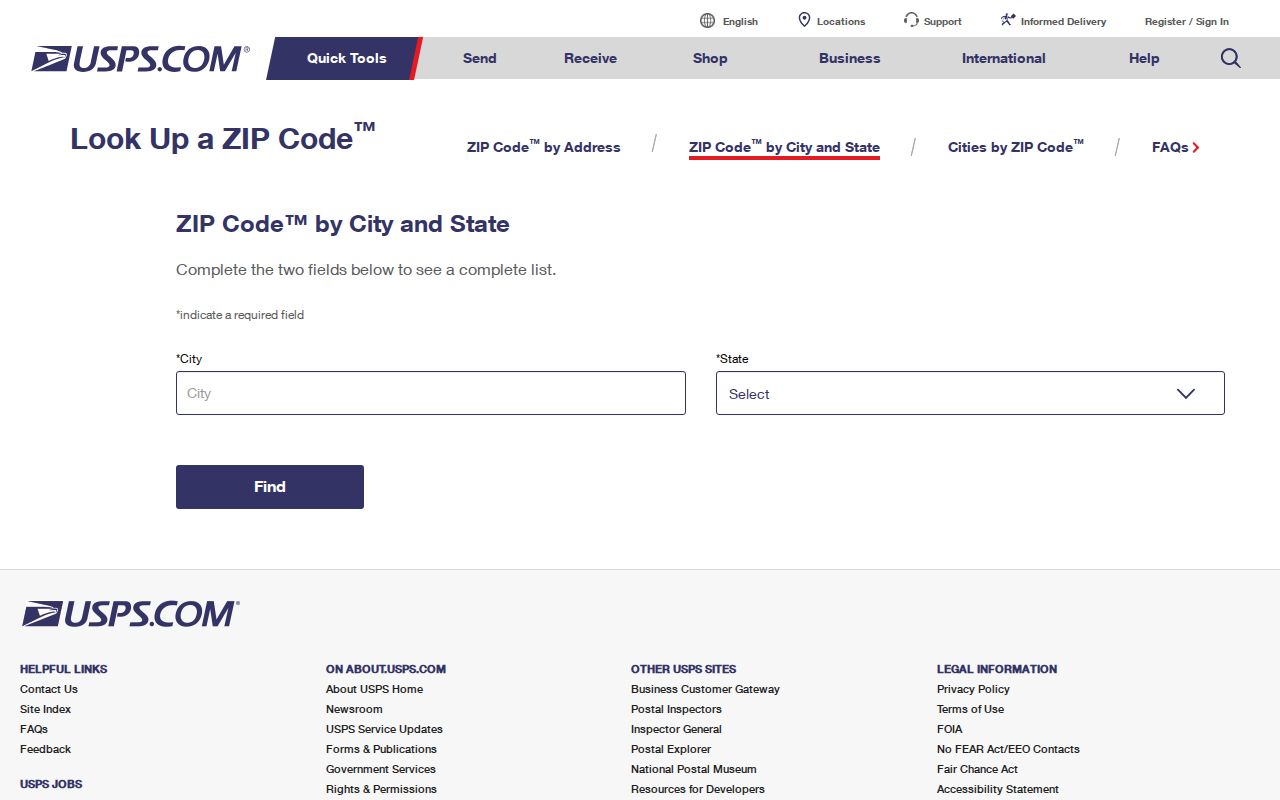
Its warning reinforces the key limit: a postal result validates delivery geography, not current residence.
Buffalo Grove Post Office Anchor
The post office record supplies a reliable local anchor for 60089. It gives the station address and its own ZIP+4, which can help distinguish a station listing from a general city result. It should not be used as a boundary map. A Buffalo Grove mailing line can still sit in Lake County or Cook County, and the office serving the mail does not decide which assessor holds the parcel.
Check the official Buffalo Grove Post Office location listing.
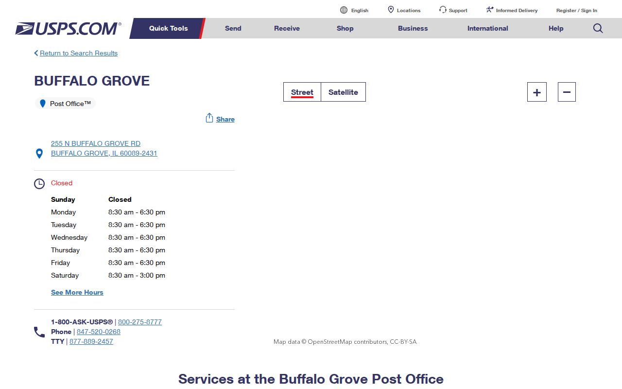
The station details confirm the postal anchor while leaving municipal and county questions to their own records.
Find Buffalo Grove Residents by ZIP
Use the postal code as a filter, then move to a record built for the question. Lake County's property-tax search includes a ZIP field alongside owner, billing name, address number, street, unit, and Parcel ID. Cook County offers address and PIN searches, while CookViewer can add parcel geography. The Illinois voter lookup also asks for ZIP, but it confirms one person's registration after other personal fields are supplied. It is not a ZIP-wide resident roll.
- Validate the full delivery address with USPS, including apartment or suite. Save the standardized city, state, ZIP, and ZIP+4 if shown.
- Identify Lake or Cook County through the Buffalo Grove Community GIS Portal or the appropriate assessor. Record the PIN and parcel location.
- In Lake County, combine the ZIP field with a street or owner. In Cook County, use the standardized address or PIN and inspect the parcel record.
- Confirm one known voter only through the state form and its required name, birth date, ZIP, street number, and street name.
A broad ZIP can contain many unrelated parcels and names. Once the postal area narrows to a road, the Buffalo Grove street directory provides the address-level workflow.
Lake ZIP Property Search Fields
The Lake County Property Tax Search is the clearest local ZIP-capable official roll captured in the research. It distinguishes Owner from Billing Name, then offers Address No., Street, Unit, and ZIP. Those fields matter because the parcel's situs address, the owner's mailing address, and a tax billing address can differ. Search with the least ambiguous pair, such as street plus ZIP, then compare the parcel ID.
| Field | Role in a ZIP search | Useful caution |
|---|---|---|
| Parcel ID | Targets one parcel | Best county-specific key |
| Owner / Billing Name | Finds a named record | Billing name may not be an occupant |
| Address No. / Street / Unit | Narrows the location | Keep unit formatting exact |
| ZIP | Filters postal geography | Does not establish village limits |
| Sort / results per page | Organizes a larger result | Review every plausible parcel |
Cook parcels require the Cook Assessor address or PIN tools. Never carry a Lake search assumption across the county line. The official sample card makes that distinction visible.
Inspect the Cook County Assessor's sample Buffalo Grove PIN card.
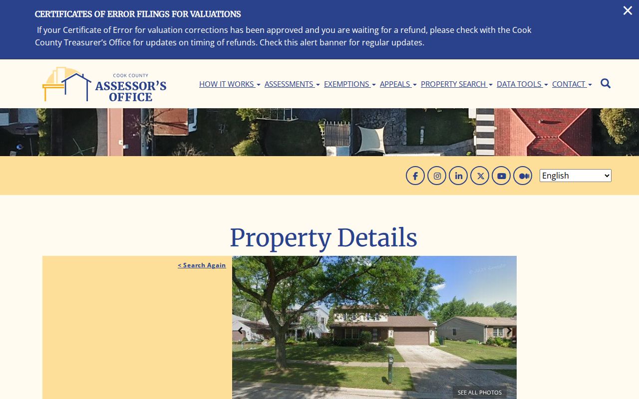
The parcel fields separate assessed property data from a simple postal label.
Open the Cook County Assessor advanced property search for county-side filters.
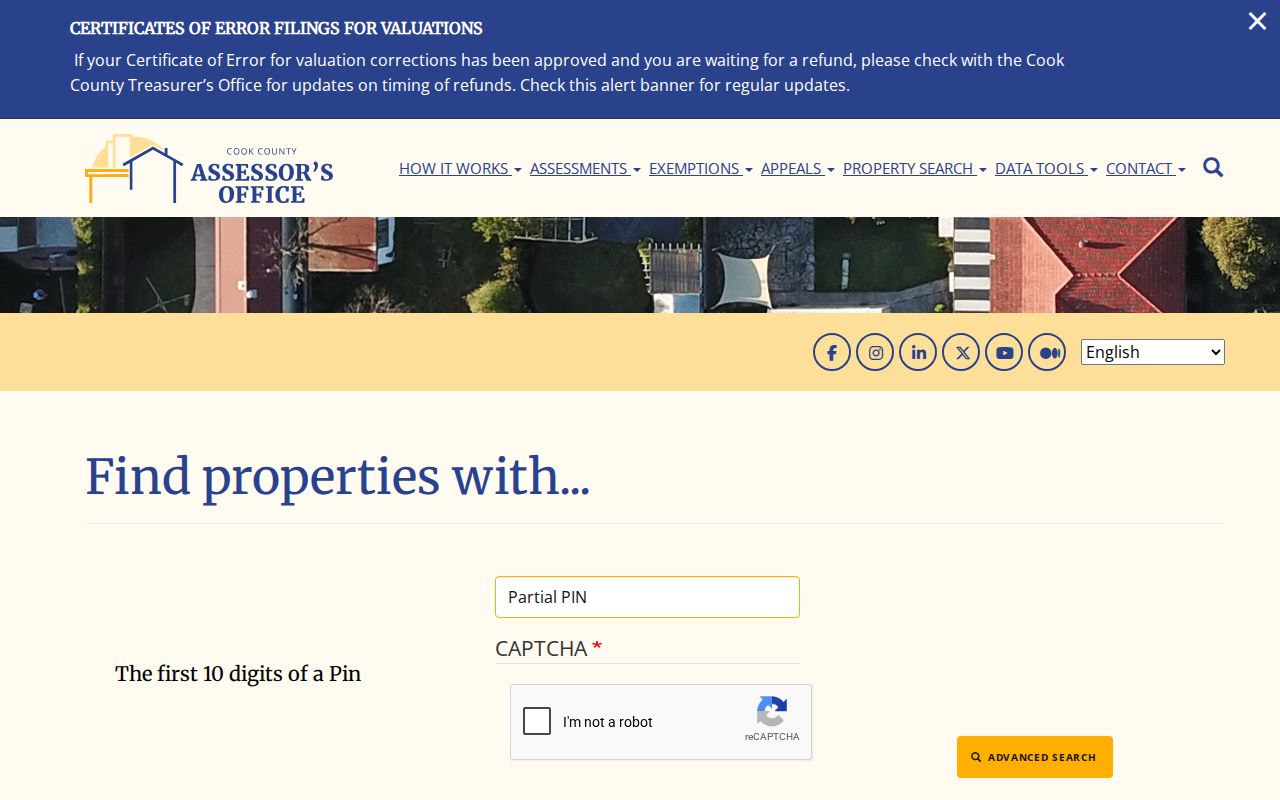
The advanced form provides the Cook-side counterpart after a postal search identifies a possible address.
Buffalo Grove's 2008 ZIP Clue
A 2008 USPS Postal Bulletin documented a delivery-area move associated with 60089. The source supports a dated postal transition, not a complete map of every address that changed. When an old letter, telephone directory, or parcel file uses an unexpected code, compare the document date with that transition and run the exact street address through current USPS tools.
Historic records also use locality labels chosen by publishers or custodians. Buffalo Grove appears in Library of Congress suburban directory locality indexes for selected early 1960s volumes, and nearby Wheeling sources may carry area names. Search the old postal city and ZIP as written before converting them to current geography.
Date every postal clue before comparing it with a modern map. Preserve the full return address, postmark, apartment line, and any route notation from the original item. Then test both the historic wording and the present street name in USPS and parcel tools. A changed delivery area may explain the code, while a renamed road, annexation, or publisher label may explain the city. None of those possibilities should be resolved by silently replacing the old line with a current one.
Buffalo Grove Beyond One ZIP
The 2020 Census community profile lists 43,212 residents and 16,404 households across more than 9.25 square miles, with more than 400 acres of parks and open space. Those figures describe the incorporated village, not a ZIP tabulation area. They explain why one postal code cannot serve as a reliable stand-in for Buffalo Grove's legal boundary, subdivisions, commercial corridors, and open land.
Use year labels carefully. The Village's 2009 planning estimate described roughly 45,000 people and 9.3 square miles, while the Census figures refer to 2020. A ZIP code directory should not blend those counts or present either as a current per-ZIP population. No official per-ZIP Buffalo Grove resident count was located in the reviewed sources.
Current Buffalo Grove Parcel Maps
Postal and parcel tools change on different schedules. CookViewer lists a May 28, 2026 release and describes a parcel archive from 2000 to current, with parcel and address search, details, export, and map selection. Buffalo Grove's BG2050 comprehensive plan was adopted on August 17, 2026. Planning documents show adopted land-use context; they do not rewrite a USPS delivery code or prove current ownership.
The Village Community GIS Portal is another bridge between an address and local geography. Its captured interface provides an address entry and tabs for Property Summary, Government Representatives, Zoning Information, Map Gallery, and Property Tax Breakdown. Use those panels to identify the likely parcel context, then confirm the controlling facts with Lake or Cook County. The Village view is convenient, but it does not merge the two counties' tax and recording systems.
View the Village's adopted comprehensive-plan source.
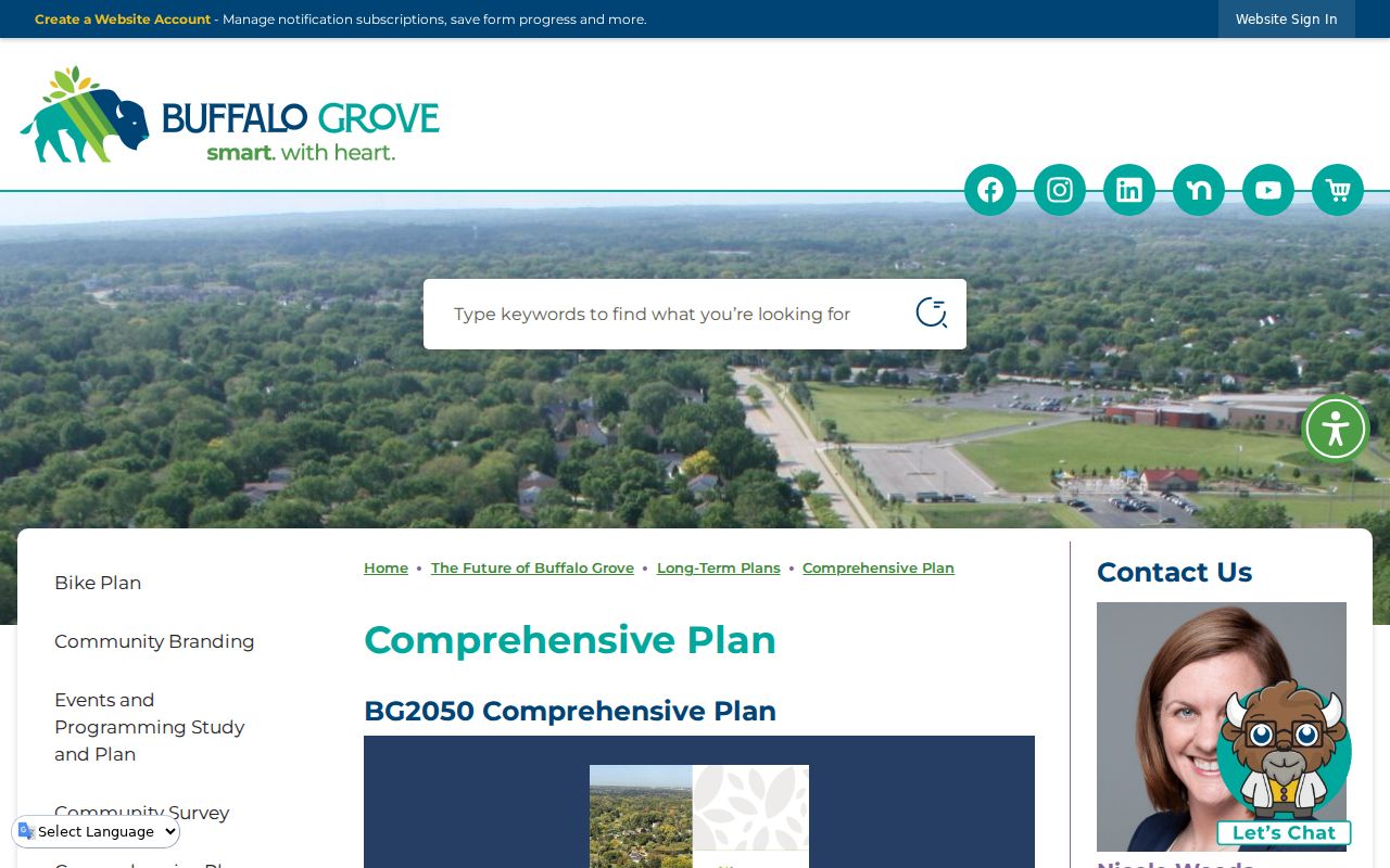
The plan date helps researchers distinguish present planning context from older parcel and postal records.
Buffalo Grove ZIP and Village Limits
A ZIP code is a mail-routing device, not a municipal or parcel boundary. Buffalo Grove itself spans Lake and Cook Counties. The same village name can therefore lead to different assessors, recorders, courts, and vital-record offices. A postal city may also differ from the parcel's legal location. Cook Assessor sample records explicitly caution that a displayed location is not necessarily a legal or postal address.
Keep five fields separate in every research note: USPS city and ZIP, incorporated municipality, township, county, and PIN. Confirm the postal pair with USPS, the village and county with GIS, and the legal parcel with the assessor. This prevents a correct 60089 mail result from being sent to the wrong courthouse.
- ZIP vs ZIP+4
- A ZIP covers a delivery area; ZIP+4 narrows mail to a smaller segment or delivery point.
- PO-box ZIP
- A code assigned mainly to post-office boxes rather than ordinary street delivery.
- Unique ZIP
- A code reserved for one organization receiving a very large mail volume.
- Carrier route
- The group of delivery points served by one postal route, which can cross other boundaries.
Boundary check. Never use a Buffalo Grove ZIP code alone to choose Lake or Cook County records.